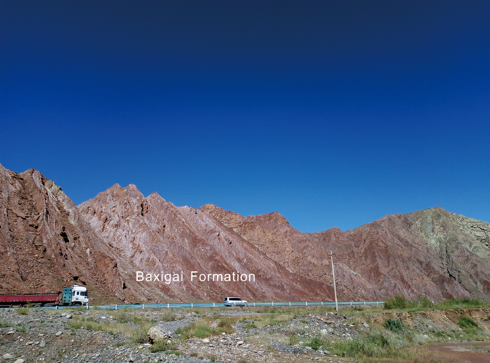
Baxigai Fm
Type Locality and Naming
Kuqa Depression, NW Tarim. The 107 Department of Petroleum Administration Bureau of Xinjiang (1975) erected the Baxigai Formation in Kapushaliang section of the Baicheng County, Xinjiang (E81°36′20″, N42°02′40″). Upper formation in Kapushaliang Gr
Lithology and Thickness
The Baxigai Formation is a group of brownish red sandy mudstone intercalated with sandstone beds, locally with intercalations of grayish green sandstone and siltstones.
[Figure: Baxigai Formations in Kuqa River section, Kuqa County, Xinjiang]
Relationships and Distribution
Lower contact
The formation contacts conformably with the underlying Shushanhe Fm.
Upper contact
The formation contacts unconformably with the above Bashijiqike Fm (with most of Late Cretaceous absent).
Regional extent
It distributed in Kuqa and Baicheng areas, Xinjiang.
GeoJSON
Fossils
It contains charophyte and ostracod fossils.
Age
Depositional setting
Additional Information
